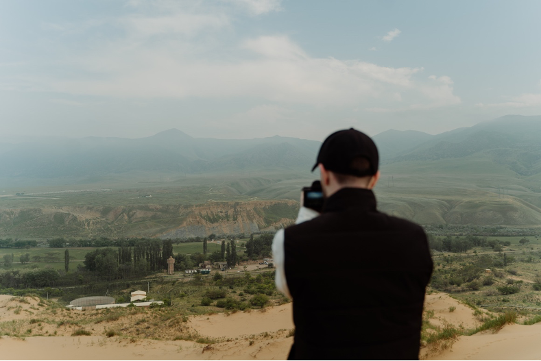
Previously, on other occasions, we have defined what is considered as landscape. That is, all those visible features that we can find in a given area of land, what are its forms, and in turn, the way in which natural and artificial elements are integrated. We can differentiate between the physical elements which are the landforms, the living aspects such as the native vegetation and also all the human elements such as the different types of soil, structures and buildings.
We must also bear in mind that the landscape is both a physical and a representational reality. It is the face that the earth shows us with all its elements and at the same time, it is the emotions and feelings that it generates in humans when we see it.
Something as wonderful and unique as the landscape needs to be cared for and treated in the best possible way. For that, governments and public institutions of each country and continent should set limits/regulations to increase awareness and care for these spaces.
At the University of Tennessee (US), this past March, an online event was held aiming to provide the possibility to learn from Michael Ross. Associate Professor, specialising in Sustainable Landscape Design at the University of Tennessee’s Department of Plant Sciences and School of Landscape Architecture. This event was aimed at the planning of a sustainable garden in relation to all the elements that make up a sustainable landscape.
Actions such as that of the University of Tennessee (US) are necessary in order to increase public awareness.
In Europe, in recent months, the actions carried out in this area have been minimal, which is why we believe it is necessary to implement strategies and projects such as Geoland.
At Geoland our main objectives have always been and still are to bring to students and professors in Europe:
a) an Educational Handbook for monitoring European Landscape,
b) a Web based GIS platform where numerous geospatial data may be uploaded and analysed and students’ opinion about landscape will be obtained through questionnaires and crowdsourcing.
These objectives will be implemented by the consortium through actions such as:
1. exploring and developing educational procedures for the effective participation of Higher Education (HE) students and Professors in decision-making for landscape management, planning and protection of NATURA 2000 sites.
2. enable the uptake of novel ways to engage and empower HE students in environmental science and stimulate participatory decision-making.
In particular, it will provide the opportunity to students, citizens and stakeholders to become interested in the definition and implementation of landscape policies and to play an active part in setting sustainability indicators of desirable landscape quality objectives (Landscape Quality Objectives/LQO).
3. attempt to identify and summarize the environmental/cultural stratification in the examined landscapes through a sophisticated Landscape Character Assessment (LCA). On the basis of this Assessment, the capabilities of geospatial technologies (Earth Observation and Geographic Information Systems) and Web-based GIS applications will be exploited.
4. encourage/introduce innovative pedagogies (citizen science), technologies and state of the art approaches (LCA) to higher education studies in Europe, while addressing issues of teaching and learning about Landscape as a multidisciplinary subject area in universities.
Learn more about the Geoland Erasmus + project by visiting its website https://www.geolandproject.eu/ and following its development via the Facebook page @GEOLANDthePROJECT!